Otto Koch · 30 October 2026
Tracking Pollinator Population Changes Through Volunteer Observations in the Riverside Woodlands
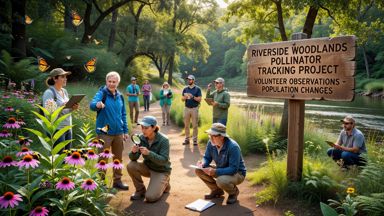
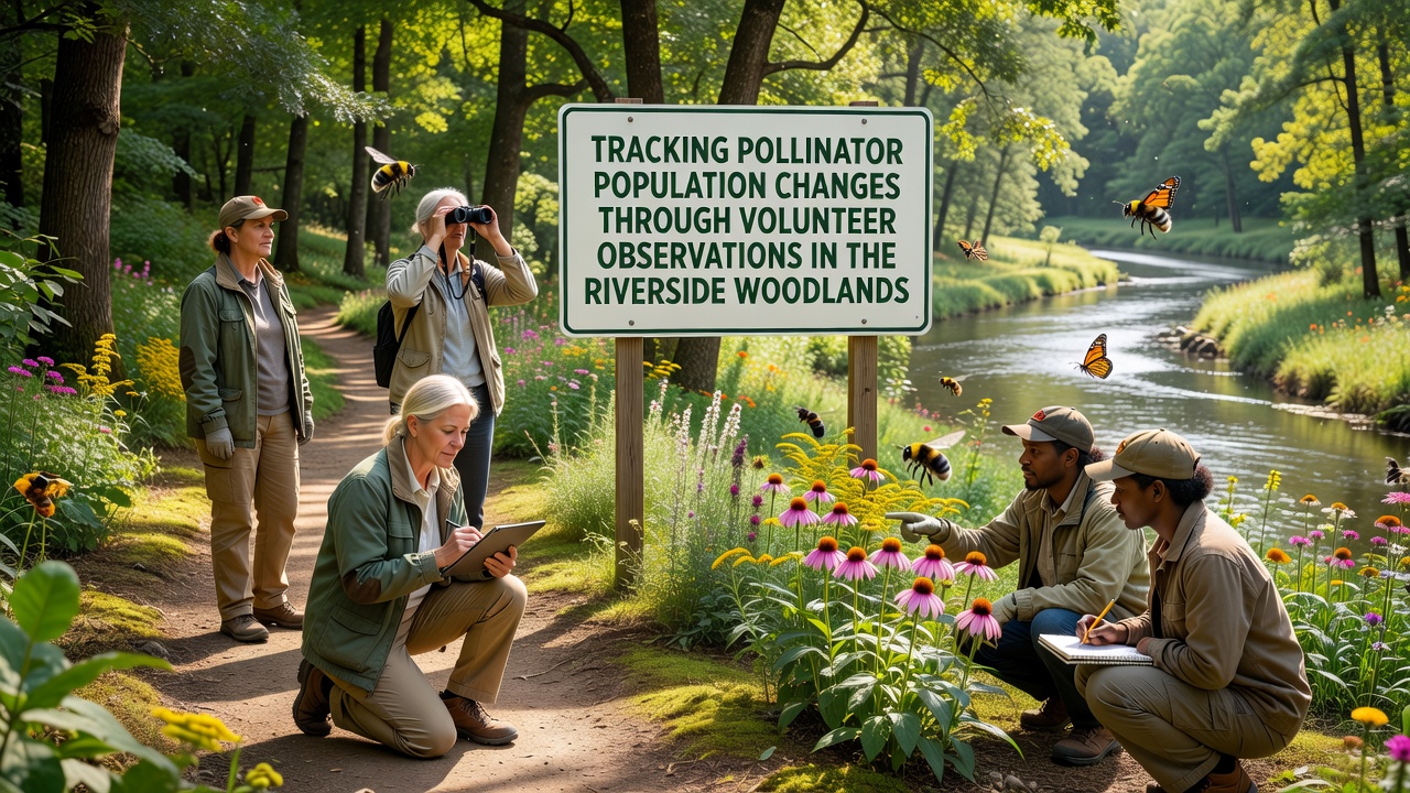
Volunteer monitoring programs have expanded across the Riverside Woodlands in recent years, where participants record sightings of bees, butterflies, and other insects during structured observation periods that run throughout the growing season and into October 2026, when many species complete their final activity cycles before winter. These efforts rely on standardized protocols that include timed walks along fixed transects, floral resource counts, and photographic documentation submitted through coordinated digital platforms, allowing researchers to compile datasets that span multiple years and track shifts in abundance as well as species composition.
Methods Used by Volunteer Observers
Participants receive training on identification techniques and data entry procedures before heading into the field, and they often work in pairs to verify sightings while maintaining consistent effort across sites that range from open glades to shaded understory areas, whereas some groups focus on early morning hours when activity peaks and others schedule sessions in late afternoon to capture different activity patterns. Data collection forms capture details such as temperature, wind speed, and dominant plant species in bloom at the time of each survey, which helps analysts adjust for environmental variables that influence insect behavior during any given visit.
Digital tools have streamlined the process since many observers upload images directly from mobile devices, and these records undergo expert review before integration into larger databases that aggregate information from similar projects across Europe and North America, although local coordinators also maintain paper backups for participants who prefer traditional recording methods in areas with limited connectivity.
Data Patterns Emerging from Multi-Year Records
Analysis of the accumulated observations shows fluctuations in several common species, with some solitary bees exhibiting stable numbers in areas where native flowering plants have been maintained, while certain butterfly populations display more pronounced year-to-year variation tied to changes in canopy cover and seasonal rainfall totals. Researchers cross-reference these field notes with temperature logs collected along the same trails, and the combined records indicate that warmer autumn periods in recent seasons have extended activity windows for late-flying insects, which in turn affects the timing of final counts conducted in October 2026.
One project compared counts from 2022 through 2025 against baseline figures gathered a decade earlier, revealing that total pollinator encounters per survey hour remained within a consistent range in core habitat patches yet declined noticeably in zones experiencing increased recreational foot traffic, and these differences prompted adjustments to trail maintenance schedules that limit disturbance during peak flight periods.
Integration with Broader Ecological Monitoring
Observations collected by volunteers feed into regional assessments that also incorporate water quality measurements and vegetation surveys conducted by professional teams, creating a more complete picture of how conditions along the river corridor influence insect communities, and this integrated approach has been adopted by similar initiatives in other riverine woodlands where data from multiple taxa help identify priority areas for habitat restoration. Coordination between groups allows cross-checking of trends, such as whether declines in certain moths coincide with changes in understory plant diversity documented during the same field seasons.
Training workshops held each spring introduce new participants to updated identification keys and emphasize the importance of consistent effort across visits, while returning volunteers often mentor newcomers on recognizing subtle differences between similar species that appear in the woodlands, and this knowledge transfer has contributed to higher data quality over successive years according to summaries prepared by project coordinators.
Role of Technology and Community Networks
Online forums and scheduled virtual meetings allow observers to share preliminary findings and discuss identification challenges as they arise, which reduces errors before final submission and strengthens engagement among dispersed volunteers who may not meet in person regularly, whereas regional coordinators compile quarterly summaries that highlight notable records such as range expansions or unexpected absences that warrant follow-up visits. These networks also connect with academic researchers who request access to raw datasets for more detailed statistical modeling of population dynamics.
Public data portals maintained by participating organizations provide access to summarized results while protecting precise location details for sensitive sites, and this transparency has encouraged additional community involvement as residents review maps that show coverage across different sections of the woodlands and identify gaps where more observations would strengthen the overall dataset.
Conclusion
Continued volunteer participation through October 2026 and beyond supports the accumulation of long-term records that document how pollinator communities respond to ongoing environmental changes in the Riverside Woodlands, and the structured observations generated by these programs supply essential information for habitat management decisions that aim to maintain suitable conditions for a diverse range of insect species. The combination of standardized methods, digital verification tools, and cross-referencing with other ecological datasets ensures that findings remain comparable across seasons and sites, while community networks sustain the level of effort required for meaningful trend detection over time.