Riley Werner · 16 October 2026
Streamside Temperature Logs Reveal How Planting Efforts Shape Local Flora Patterns Over Time
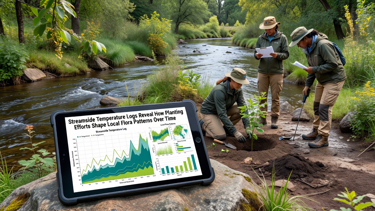
Streamside temperature monitoring has become a key tool for tracking how restoration planting alters local plant communities along river corridors, and data collected through continuous logging devices now spans multiple growing seasons in several European catchments. Researchers deploy waterproof sensors at regular intervals along planted and unplanted reaches, recording hourly readings that capture daily fluctuations and seasonal trends while correlating these measurements with vegetation surveys conducted twice annually.
Monitoring Setup and Data Collection
Loggers positioned at depths of 10 to 30 centimeters in the substrate capture both water and near-surface soil temperatures, creating datasets that researchers cross-reference with species inventories, canopy cover estimates, and soil moisture readings. In the Uferhain area, teams established 24 monitoring stations in 2023, spacing them to compare sections where native willows, alders, and sedges were introduced against control stretches that received no planting. The approach allows direct comparison of temperature regimes before and after canopy development, and records from October 2026 already show measurable cooling in reaches where tree cover exceeded 40 percent.
Equipment calibration occurs every spring and fall to maintain accuracy within 0.2 degrees Celsius, while data downloads happen quarterly through wireless transmitters that reduce site disturbance. Analysts then process the raw logs using statistical models that isolate the effects of shading from other variables such as flow rate and groundwater input, and results feed into regional databases maintained by environmental agencies.
Planting Strategies and Initial Temperature Responses
Restoration crews selected species mixes suited to local hydrology, placing fast-growing shrubs closest to the waterline and taller trees on higher banks to maximize shade without narrowing the channel. Temperature drops of 1.5 to 3.2 degrees Celsius during summer afternoons appeared within two years of planting in several monitored reaches, and these reductions coincided with shifts in understory composition. Species that prefer cooler, moister conditions began expanding their cover, whereas drought-tolerant grasses declined in the same plots.
One study from the European Environment Agency tracked similar projects across five member states and found that sites with active planting programs consistently recorded lower maximum temperatures than reference sites lacking intervention. The agency report notes that temperature moderation also reduced diurnal swings, creating more stable conditions that favor perennial herbs over annual colonizers.
Flora Pattern Shifts Documented Over Multiple Seasons
Vegetation transects reveal that planted areas developed denser canopy layers by the third year, which in turn supported higher abundances of shade-adapted ferns and mosses along the immediate stream edge. At the same time, light-dependent pioneer species retreated upslope or disappeared from the lower banks, producing measurable changes in community evenness scores. Temperature logs help explain these patterns because daily averages below 18 degrees Celsius correlated strongly with increased recruitment of certain native forbs that had been rare before planting.
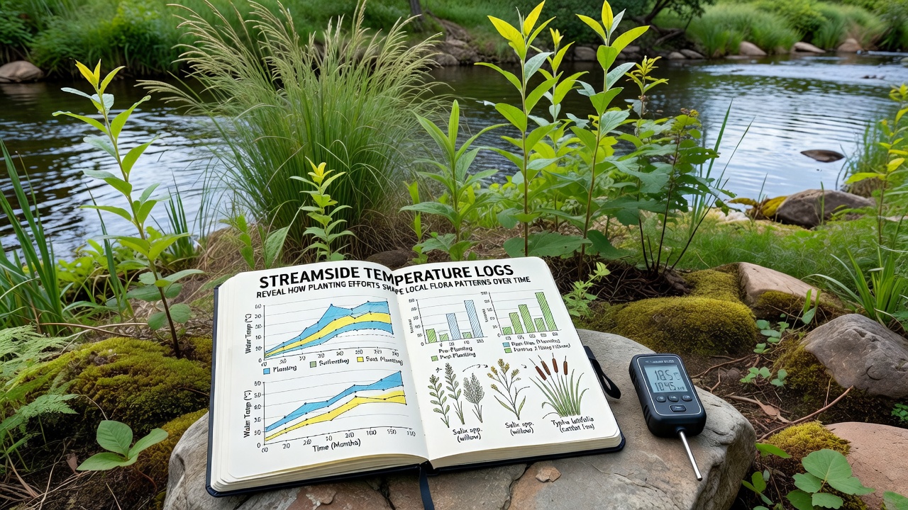
Longer-term records indicate that cooling effects strengthened as root systems matured and leaf area increased, and these progressive changes continued through the 2025 and 2026 field seasons. Observers documented new patches of watercress and brooklime appearing in previously sparse zones once summer maxima fell below thresholds that previously limited their growth. Meanwhile, invasive reed canary grass showed reduced vigor in the cooler microclimates, although it persisted in unshaded margins.
Integration With Broader Ecological Datasets
Project teams now combine temperature logs with soil nutrient analyses and pollinator counts to build a more complete picture of how planting cascades through the riparian system. A research collaboration involving scientists from Australia’s CSIRO and several German universities has begun testing whether the same temperature-flora relationships hold in southern hemisphere streams, and preliminary comparisons suggest similar cooling thresholds trigger comparable species replacements. The shared datasets allow researchers to refine predictive models that forecast future plant distributions under continued restoration.
Public agencies responsible for river basin management have started incorporating these findings into permitting decisions for new planting projects, using temperature targets as measurable benchmarks alongside traditional cover metrics. Records from October 2026 already inform the latest round of site evaluations, confirming that reaches meeting both temperature and species-diversity goals receive priority for follow-up maintenance.
Conclusion
Continuous streamside temperature logging provides objective evidence that targeted planting alters thermal regimes and, in turn, drives measurable reorganization of local flora communities over successive seasons. The datasets emerging from these efforts supply river managers with quantifiable indicators they can use to evaluate restoration success, adjust species selections, and track progress toward long-term ecological targets across multiple catchments.