Otto Koch · 18 September 2026
Shoreline Camera Logs Connect Mammal Movements with Planting Efforts and Water Quality Data
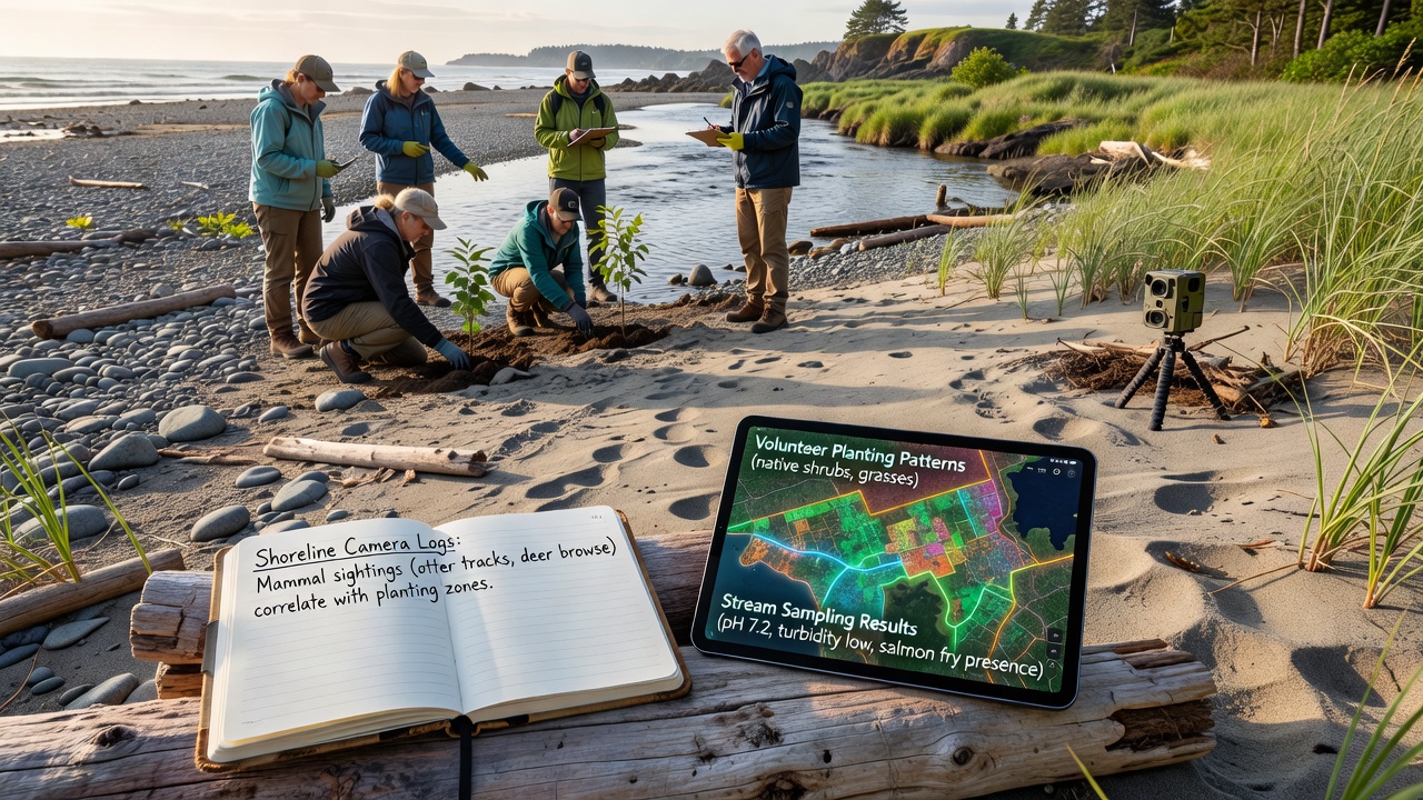
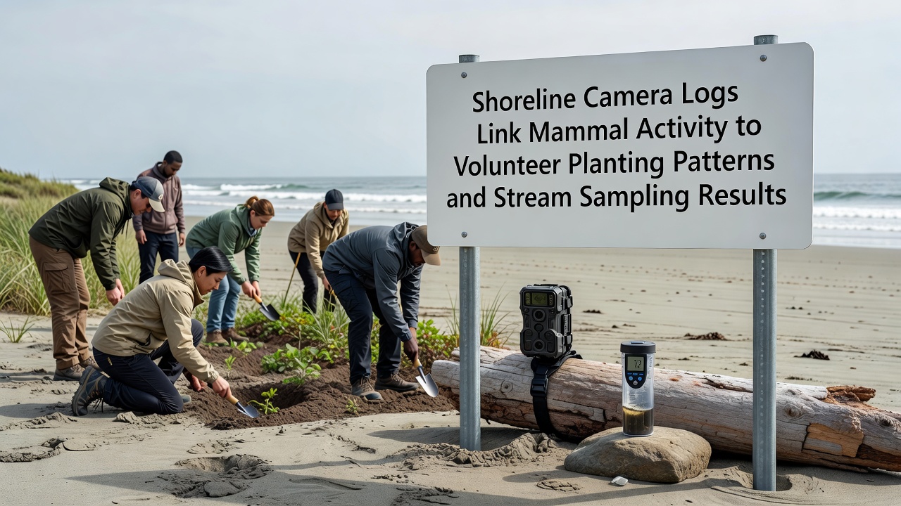
Shoreline camera systems deployed along the Uferhain river have captured detailed logs that align mammal activity zones with areas where volunteers carried out targeted native plantings while corresponding stream sampling results show measurable shifts in water parameters. Researchers compiled footage from multiple camera stations active through the spring and summer months of 2026 and cross-referenced those records with planting maps created by local volunteer groups plus monthly water chemistry readings collected at fixed sampling points. The resulting dataset reveals that mammal visitation rates increased in zones where dense clusters of native shrubs and grasses had been introduced earlier in the year and that those same zones overlapped with sampling stations recording lower turbidity levels alongside stable dissolved oxygen readings.
Camera Deployment and Initial Data Collection
Multiple infrared-triggered cameras positioned at regular intervals along the shoreline began continuous operation in March 2026 and continued recording through September when initial analysis began. Footage logged frequent passages of deer, foxes, and smaller mustelids with the highest concentration of events occurring within fifty meters of recently planted riparian buffers. Time-stamped entries allowed analysts to map daily movement corridors that consistently avoided bare or eroded banks while favoring the vegetated patches established by volunteers during organized events held in April and May. Those same camera records also documented seasonal shifts with nocturnal species showing stronger preference for the planted corridors once foliage density increased in midsummer.
Volunteer Planting Patterns and Site Selection
Volunteer crews focused their efforts on specific shoreline segments identified during earlier habitat assessments with planting densities averaging twelve native species per square meter in core restoration plots. Species selection emphasized deep-rooted sedges and willow varieties chosen for their erosion-control properties and suitability for local soil conditions. Maps produced by the volunteer coordinators indicate that planting occurred in contiguous blocks rather than scattered rows and those blocks align closely with the mammal activity hotspots later identified in the camera logs. Follow-up surveys conducted in August confirmed survival rates above eighty-five percent across the planted areas with canopy coverage already providing shade that reduced daytime soil temperatures by several degrees compared to adjacent unplanted sections.
Stream Sampling Methodology and Key Findings
Weekly stream sampling at eight fixed stations collected data on turbidity, nutrient concentrations, and macroinvertebrate diversity using standardized protocols established by regional environmental monitoring programs. Stations located downstream from the densest planting blocks recorded average turbidity reductions of eighteen percent between April and September while stations in unplanted reaches showed more variable readings influenced by episodic rainfall events. Macroinvertebrate counts at the improved stations included higher proportions of sensitive taxa such as certain caddisfly and mayfly species which data from the US Geological Survey national water quality assessments associate with improved habitat stability. Nutrient levels remained within baseline ranges yet showed less fluctuation at the planted-adjacent stations suggesting reduced runoff from stabilized banks.
Correlation Analysis Between Datasets
Statistical overlays of the three data streams demonstrate that mammal activity density serves as a reliable proxy for planting success because animals concentrate their movements where cover and forage have been restored. In turn those concentrated movements appear to contribute to further seed dispersal and soil aeration which support the vegetation that stabilizes sediment inputs into the stream. Sampling stations with the strongest mammal-vegetation overlap produced the most consistent water quality improvements while stations lacking both planting and mammal traffic maintained higher baseline turbidity. Analysts note that the temporal sequence begins with volunteer planting followed by increased mammal visitation within weeks and then measurable sampling improvements appearing after roughly three months of cumulative effect.
Broader Context and Ongoing Monitoring
Similar integrated monitoring approaches have been documented in other river restoration projects across Europe and North America where camera networks supplement traditional field surveys. Data-sharing platforms maintained by organizations such as the Australian Department of Climate Change, Energy, the Environment and Water provide templates for combining camera logs with water chemistry records although each site adapts the method to local species and hydrology. In the Uferhain case the September 2026 analysis represents the first full season of combined datasets and project coordinators plan to expand camera coverage and add acoustic sensors for nocturnal species during the next monitoring cycle.
Conclusion
The integration of shoreline camera logs with volunteer planting records and stream sampling results provides a practical framework for tracking restoration outcomes through multiple indicators. Continued data collection through subsequent seasons will allow researchers to refine the observed correlations and test whether the patterns hold under varying weather conditions or additional planting phases. The current findings establish a baseline that future monitoring can build upon using the same methods and locations.